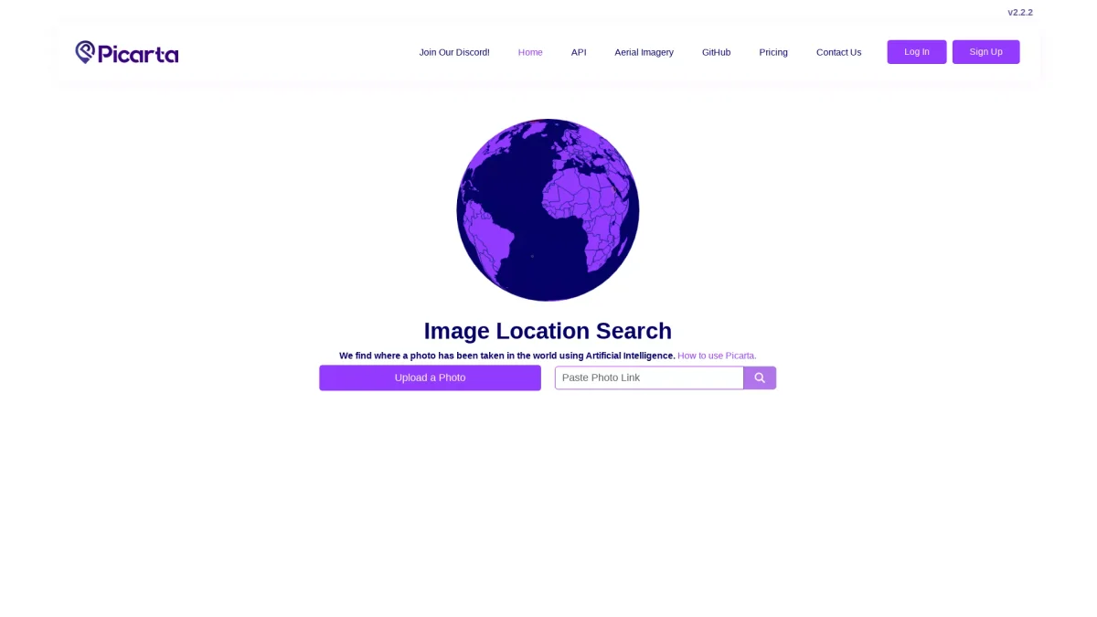
Picarta
Discover Where Your Photos Were Taken
Picarta uses AI to geolocalize images, providing precise location data for aerial imagery to enhance exploration and research.
What is Picarta?
Picarta is an innovative AI-powered tool designed to identify the geographical location of photos by analyzing aerial imagery. Its main purpose is to solve the challenge of determining where an image was captured in the world, which is particularly useful for individuals and businesses needing accurate geolocation data for exploration, research, or decision-making purposes. By leveraging advanced artificial intelligence technologies, Picarta offers users the ability to easily upload images and receive precise location information, including latitude, longitude, timestamps, and camera details. This tool empowers users by unlocking new possibilities for visual storytelling, enhancing research capabilities, and aiding in informed decision-making processes across various sectors, including tourism, real estate, and environmental studies.
Key Features
- AI-powered geolocation analysis
- Search by country or region
- Detailed aerial imagery processing
- Camera metadata extraction
- User-friendly photo upload interface
- Map visualization of results
- Worldwide location search capability
Who is it for?
- Travel researchers and explorers
- Photographers and videographers
- Real estate professionals
- Environmental scientists
- Marketing and branding agencies
Use Cases
1. Travel Photo Identification
Easily identify the exact location of travel photos. Users can upload images taken during their trips to receive precise geolocation data, helping to document and share their adventures.
2. Real Estate Analysis
Utilize Picarta to analyze property images for accurate location data. Real estate professionals can enhance their listings by providing potential buyers with detailed information about the property's surroundings.
3. Environmental Research
Support environmental studies by using Picarta to geolocate images of ecosystems or wildlife. Researchers can track changes over time in specific areas, aiding in conservation efforts.
4. Content Creation for Social Media
Create engaging content by accurately geolocalizing images for social media posts. This feature helps influencers and brands enhance their storytelling by sharing rich context about their photos.
Pricing Plans
Pricing information not available on website. Please visit the official website for current pricing.
Frequently Asked Questions
1. How does Picarta determine image locations?
Picarta utilizes advanced artificial intelligence algorithms to analyze aerial imagery, extracting data such as latitude, longitude, and timestamps to accurately geolocalize images.
2. Can I search for images taken in specific countries?
Yes, Picarta allows users to search for locations by selecting specific countries or regions on the map, providing tailored results based on user preferences.
3. What types of images can I upload?
Picarta is designed to analyze aerial imagery, making it suitable for various types of images captured from above, including photographs taken during flights or from high viewpoints.
4. Is there a limit to the number of photos I can upload?
The limits on photo uploads depend on the account type. Users are encouraged to log in or register to access detailed results and potential upload limits.
Picarta Reviews & Ratings
Real user feedback and ratings for Picarta. See what the community thinks about this AI tool.
No reviews yet
Be the first to share your experience with Picarta