GeoFinderAI
Discover locations from your images instantly
GeoFinderAI analyzes your photos to accurately predict where they were taken, leveraging advanced AI technology for precise location detection.
What is GeoFinderAI?
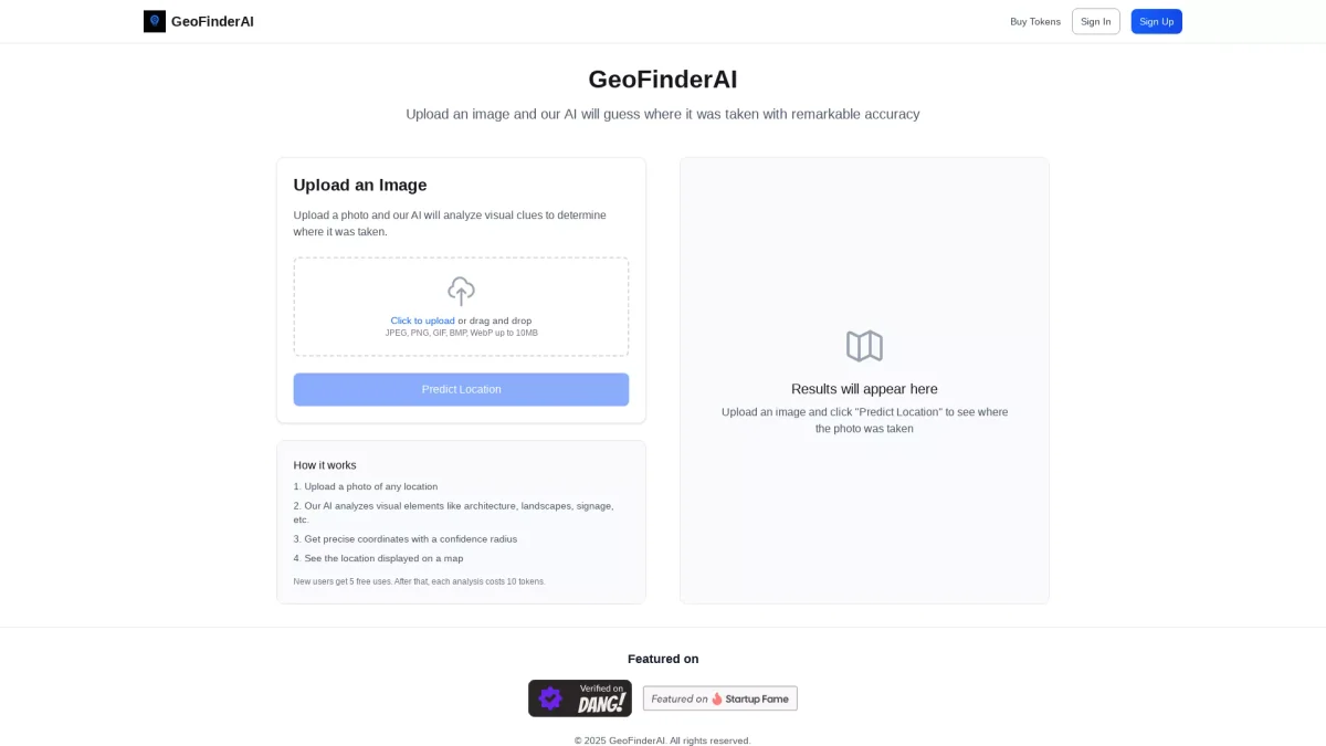
GeoFinderAI is an innovative tool that utilizes artificial intelligence to determine the geographical location of images uploaded by users. Its main purpose is to analyze visual elements within photographs, such as architecture, landscapes, and signage, to provide accurate location predictions. This tool effectively addresses the challenge of identifying locations from images, making it easier for users to understand and document their travels or experiences. By offering precise coordinates and a confidence radius, GeoFinderAI enhances the user experience by visualizing the location on a map. With an initial offer of five free uses, it serves both casual users and professionals who need reliable location data. Whether for travel enthusiasts, researchers, or content creators, GeoFinderAI simplifies the process of location detection, saving time and enhancing productivity through its user-friendly interface and advanced capabilities.
Key Features
- AI analyzes visual elements
- Precise coordinate predictions
- Confidence radius for accuracy
- Supports various image formats
- Free uses for new users
- Interactive map display
- Easy image upload options
Who is it for?
- Travel enthusiasts
- Photographers and bloggers
- Researchers and educators
- Content creators
- Social media users
Use Cases
1. Travel Documentation
Capture your travel memories and easily identify locations from your photos. Upload images to GeoFinderAI and receive precise location data to enrich your travel blogs or journals.
2. Content Creation for Social Media
Enhance your social media posts by accurately tagging locations in your photos. Use GeoFinderAI to add location context, making your posts more engaging and informative for your audience.
3. Academic Research
Utilize GeoFinderAI for research projects that require location analysis. By analyzing images related to geographical studies, researchers can obtain valuable data and insights for their work.
4. Real Estate Analysis
For real estate professionals, GeoFinderAI can assist in analyzing property images to determine their geographical context, helping to make informed decisions and enhance marketing strategies.
Pricing Plans
Free: 5 uses with no cost, Pro: 10 tokens per analysis - Pay per use after free uses.
Frequently Asked Questions
1. Does GeoFinderAI offer a free trial?
Yes, GeoFinderAI offers 5 free uses for new users, allowing them to test the service without any cost before purchasing tokens for additional analyses.
2. What image formats are supported by GeoFinderAI?
GeoFinderAI supports multiple image formats including JPEG, PNG, GIF, BMP, and WebP, allowing users to upload a wide variety of images for location analysis.
3. How can I purchase tokens for GeoFinderAI?
Tokens for GeoFinderAI can be purchased directly through the website. Each analysis costs 10 tokens after the initial 5 free uses, enabling users to pay as needed.
4. How accurate is the location prediction?
GeoFinderAI provides precise coordinates along with a confidence radius, ensuring that users receive accurate location predictions based on the visual elements analyzed in their photos.
GeoFinderAI Reviews & Ratings
Real user feedback and ratings for GeoFinderAI. See what the community thinks about this AI tool.
No reviews yet
Be the first to share your experience with GeoFinderAI